
DATA 038
Beijing Neighborhood Socioeconomic Status Dataset
Beijing City Lab Data
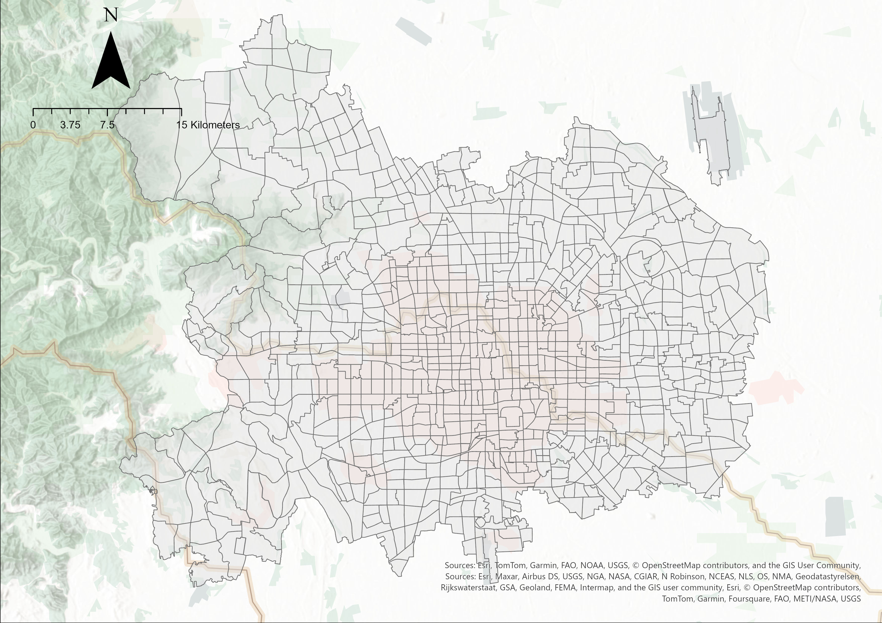
Type & Source This dataset is a supplementary data release to the article “Measuring neighborhood socioeconomic status from the sky and the street.” It provides extrapolated socioeconomic conditions for neighborhoods in central Beijing, based on a combination of remote sensing, street view imagery, and statistical modeling. Spatial Coverage 938 Traffic Analysis Zones (TAZs) 130 Townships in the central area of Beijing. Content The neighborhood socioeconomic status (nSES) score comprises 8 indicators grouped into 5 key dimensions: Hukou HUKOU: Percentage of households with a Beijing hukou Education TER_EDU: Percen...
Media / 图片视频
Source Images / 原始图片
Text / 正文
Type & Source
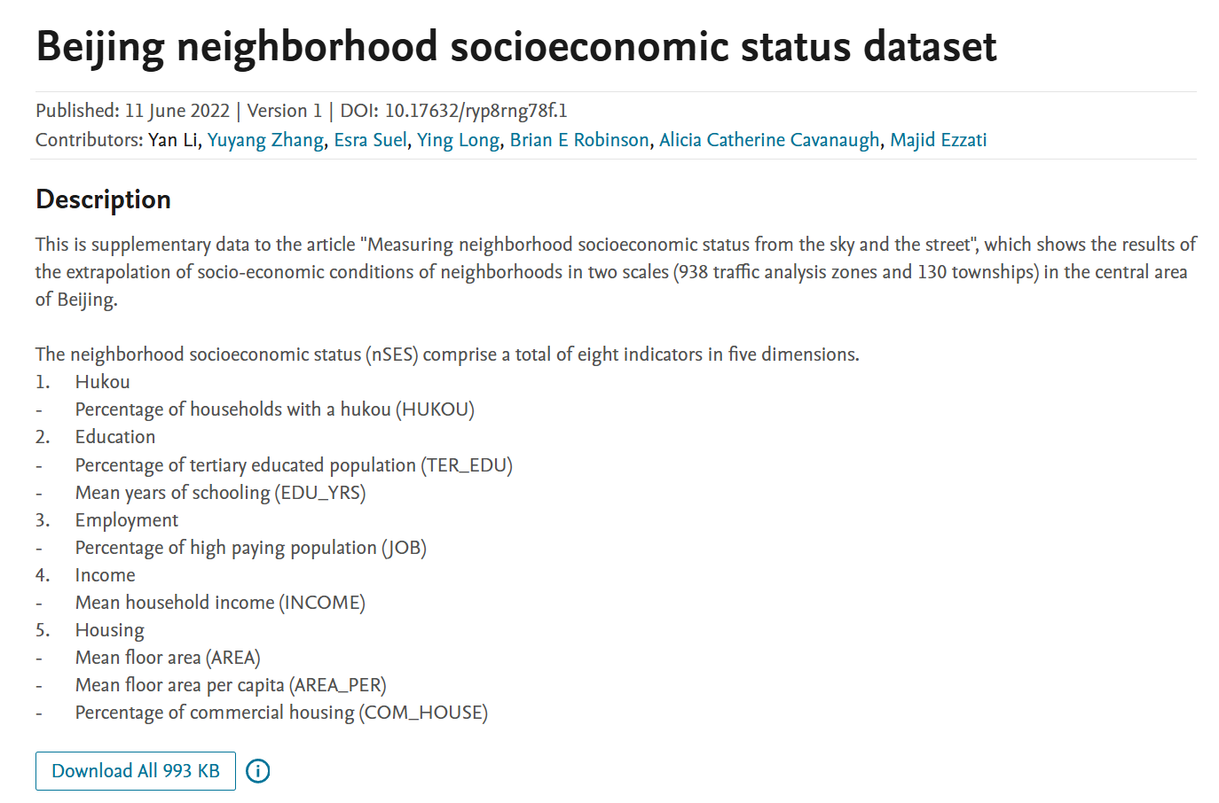
This dataset is a supplementary data release to the article “Measuring neighborhood socioeconomic status from the sky and the street.” It provides extrapolated socioeconomic conditions for neighborhoods in central Beijing, based on a combination of remote sensing, street view imagery, and statistical modeling.
Spatial Coverage
- 938 Traffic Analysis Zones (TAZs)
- 130 Townships
- in the central area of Beijing.
Content
The neighborhood socioeconomic status (nSES) score comprises 8 indicators grouped into 5 key dimensions:
- Hukou
- HUKOU: Percentage of households with a Beijing hukou
- Education
- TER_EDU: Percentage of tertiary-educated residents
- EDU_YES: Mean years of schooling
- Employment
- JOB: Percentage of population in high-paying jobs
- Income
- INCOME: Mean household income
- Housing
- AREA: Mean household floor area
- AREA_PER: Floor area per capita
- COM_HOUSE: Percentage of commercial housing units
Citation
Li, Y., Zhang, Y., Suel, E., Long, Y., Robinson, B. E., Cavanaugh, A. C., & Ezzati, M. (2022). Beijing neighborhood socioeconomic status dataset [Data set, Version 1]. Mendeley Data. https://doi.org/10.17632/ryp8rng78f.1.
Repository Access
Beijing Neighborhood Socioeconomic Status Dataset on Mendeley Data · DOI: 10.17632/ryp8rng78f.1
Downloads / 下载