
DATA 042
Walk Score of All Main Chinese Cities
Beijing City Lab Data
Type & Source We are sharing the year-2014 “Walk Score” in GIS Shapefiles for more than 700,000 streets in 287 main cities (at or above prefecture-level) in mainland China. The Walk Scores range from 0 to 100, where 100 indicates the highest walkability. Please unzip the following two files and put them in the same directory and in this way you will be able to open the GIS file. Content & Attributes Each street segment includes the following 11 attributes: WS — Walk score of the street segment STREET_ID — Unique identifier of the street segment CITY_ID — Unique identifier of the city NAME — Name of the city (Chi...
Media / 图片视频
Source Images / 原始图片
Text / 正文
Type & Source
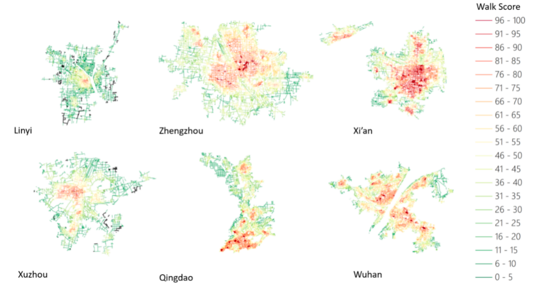
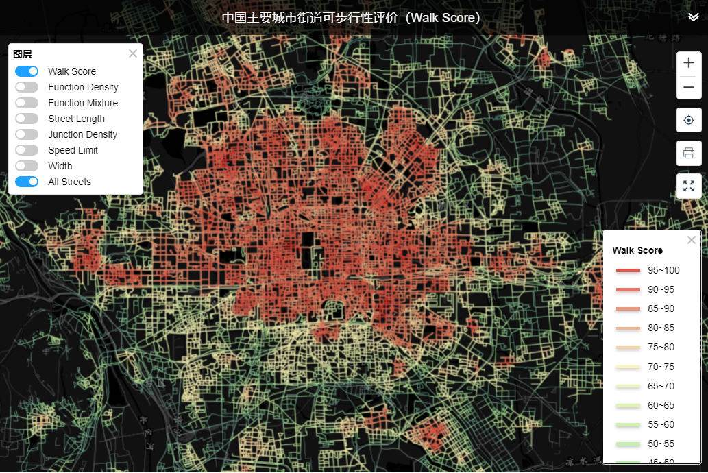
We are sharing the year-2014 “Walk Score” in GIS Shapefiles for more than 700,000 streets in 287 main cities (at or above prefecture-level) in mainland China. The Walk Scores range from 0 to 100, where 100 indicates the highest walkability. Please unzip the following two files and put them in the same directory and in this way you will be able to open the GIS file.
Content & Attributes
Each street segment includes the following 11 attributes:
- WS — Walk score of the street segment
- STREET_ID — Unique identifier of the street segment
- CITY_ID — Unique identifier of the city
- NAME — Name of the city (Chinese)
- PINYIN — Name of the city in pinyin
- CITY_LEVEL — Administrative level of the city
- LENGTH_M — Length of the street segment in meters
- width_m — Width of the road in meters
- function_d — Functional density (land use intensity)
- function_m — Functional mix (land use diversity)
- junction_d — Junction (intersection) density
Citation
Long, Y., Zhao, J., Li, S., Zhou, Y., & Xu, L. (2018). 中国主要城市街道步行指数的大规模测度 [Large-scale calculation of Walk Score of main cities in China]. 新建筑, (3). https://doi.org/10.12069/j.na.201803001.
Downloads / 下载