
DATA 035
Boundaries and Blocks in Redefined Cities of China 2011 & 2016
Beijing City Lab Data
Type & Source This dataset presents spatially redefined cities and their constituent blocks across China for the years 2011 and 2016, generated using the method proposed by Song et al. (2018) and based on Points of Interest (POIs) and road network data. It reflects the evolving morphology of Chinese cities using high-resolution spatial big data. Contents The dataset includes four ESRI Shapefiles: Redefined Cities (2011) Count : 2,005 cities Total Area : ~0.167 million km² Attributes : CityID: Unique identifier Areakm2: Area in square kilometers PoiDens: POI density JuncDens: Road junction density PopDens: Populat...
Media / 图片视频
Source Images / 原始图片
Text / 正文
Type & Source
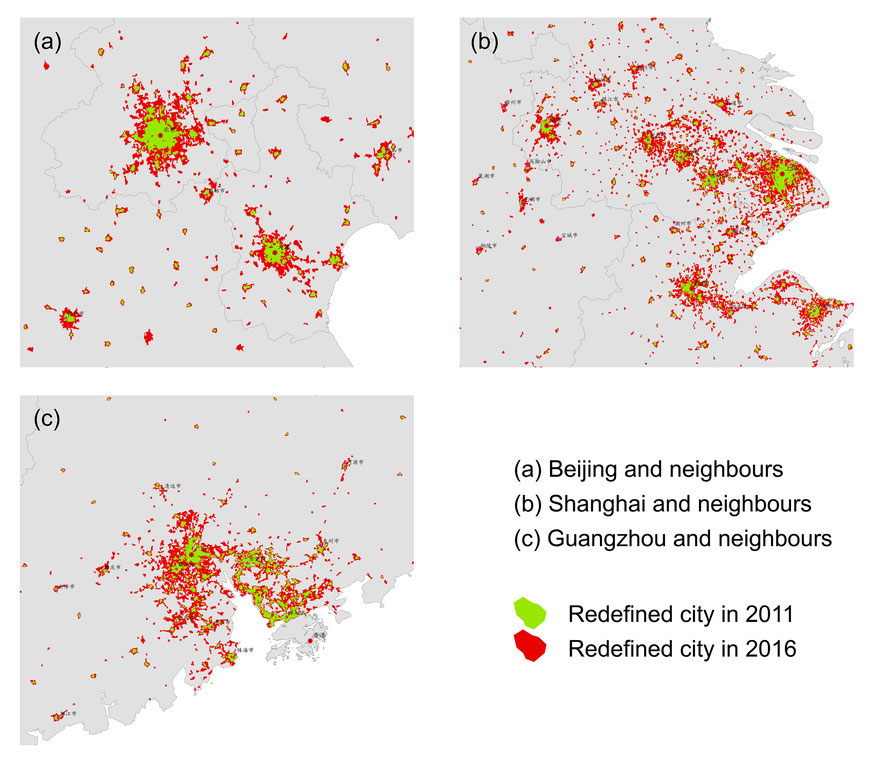
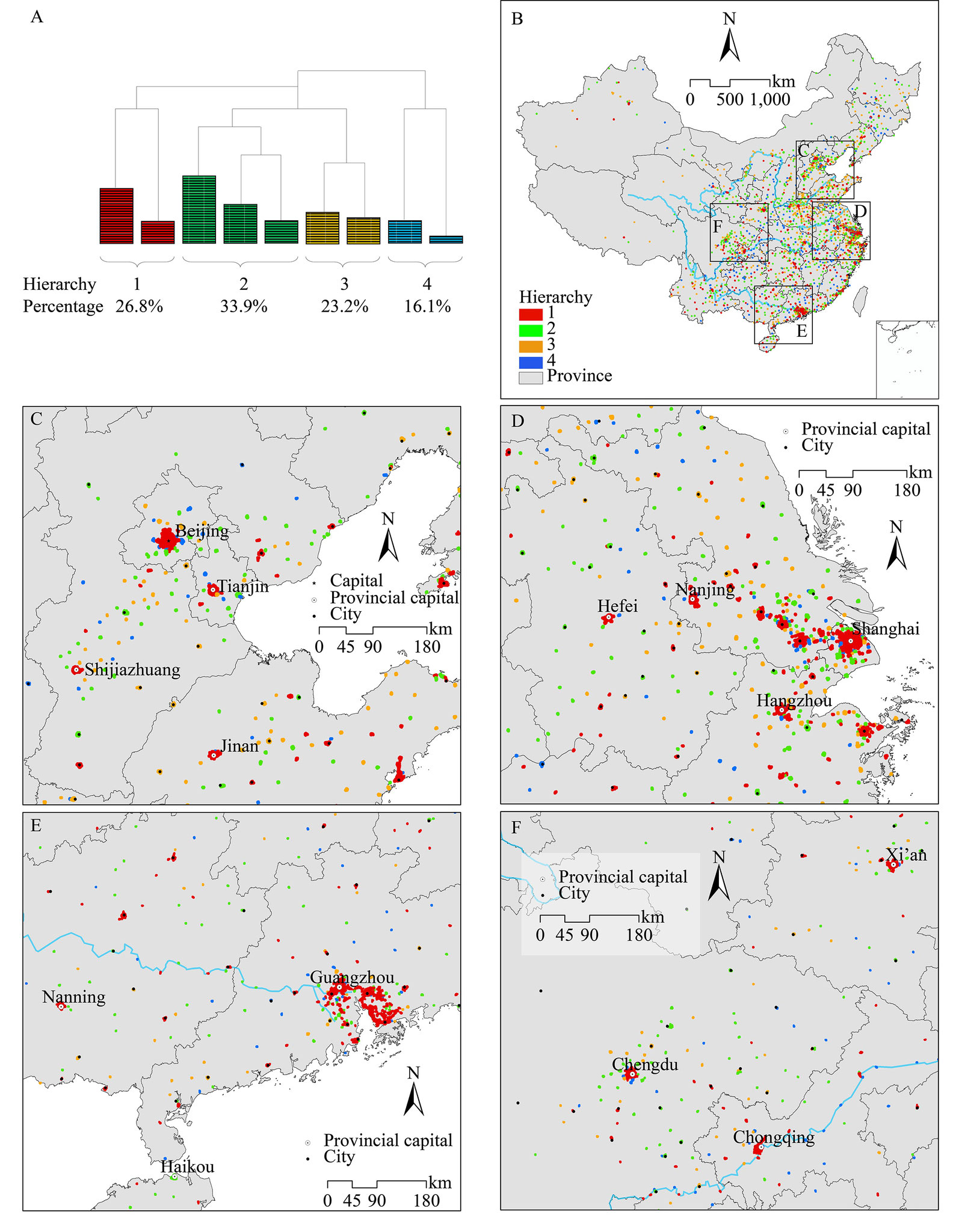
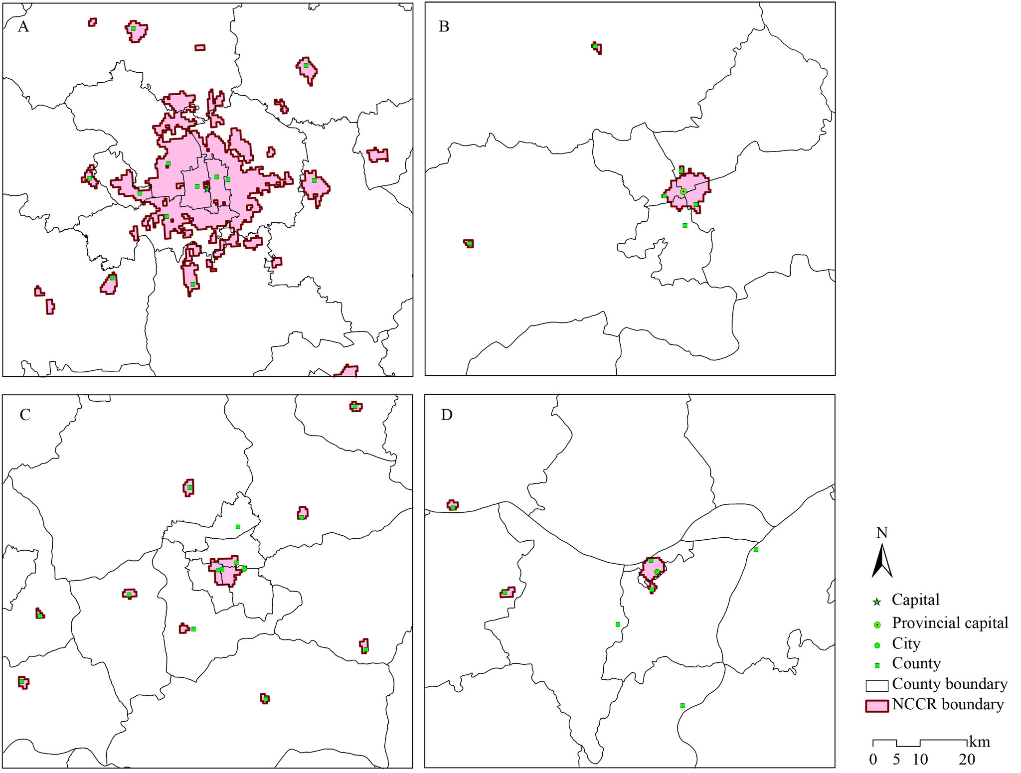
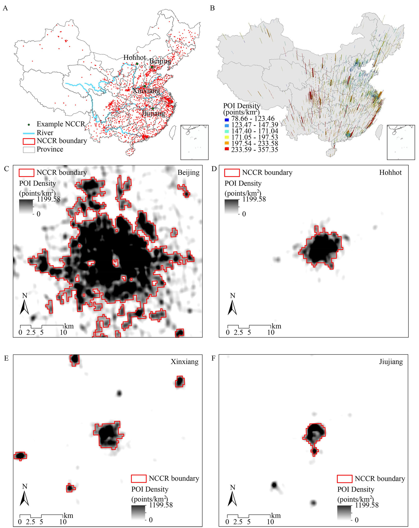
This dataset presents spatially redefined cities and their constituent blocks across China for the years 2011 and 2016, generated using the method proposed by Song et al. (2018) and based on Points of Interest (POIs) and road network data. It reflects the evolving morphology of Chinese cities using high-resolution spatial big data.
Contents
The dataset includes four ESRI Shapefiles:
- Redefined Cities (2011)
- Count: 2,005 cities
- Total Area: ~0.167 million km²
- Attributes:
- CityID: Unique identifier
- Areakm2: Area in square kilometers
- PoiDens: POI density
- JuncDens: Road junction density
- PopDens: Population density
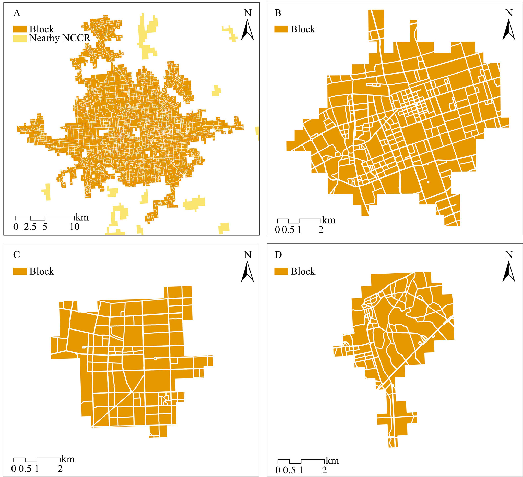
- Urban Blocks of Redefined Cities (2011)
- Count: ~78,000 blocks
- Attributes:
- CityID: Corresponding city ID
- Aream2: Area of each block in square meters
- Redefined Cities (2016)
- Count: 4,678 cities
- Total Area: ~0.726 million km²
- Attributes:
- CityID: Unique identifier
- Areakm2: Area in square kilometers
- PoiDens: POI density
- Urban Blocks of Redefined Cities (2016)
- Count: ~187,000 blocks
- Attributes:
- CityID: Corresponding city ID
- Aream2: Area of each block in square meters
Note
Direct comparisons between 2011 and 2016 datasets should be made with caution, as POI data sources and collection methodologies differ between the two years.
Citation
Long, Y. (2016). Redefining Chinese city system with emerging new data. Applied Geography, 75, 36–48. https://doi.org/10.1016/j.apgeog.2016.08.002.
Downloads / 下载