
DATA 034
Spatial Cities of China 2015
Beijing City Lab Data
Type & Source This dataset redefines spatial cities in China for the year 2015 , using community-level administrative units and built-up area data to more accurately reflect urbanized regions, addressing the significant mismatch between China’s administrative city boundaries and their actual urban extents. Content & Fields Each record represents a redefined spatial city and includes the following fields: name: Name of the spatial city area Area of the spatial city (in km²) kind: Type code indicating the city's functional role or scale: 1 = Central area of an administrative city 2 = City district 3 = Sub-central a...
Media / 图片视频
Source Images / 原始图片
Text / 正文
Type & Source
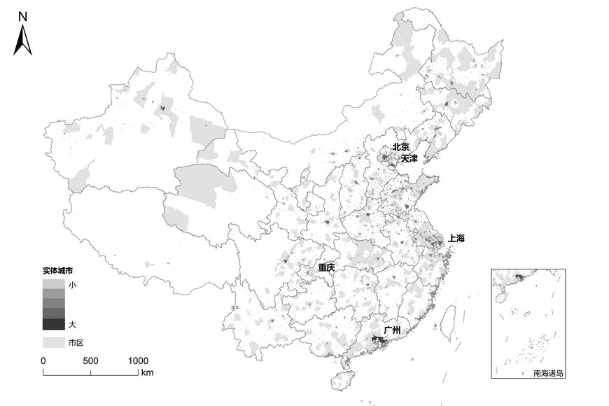
This dataset redefines spatial cities in China for the year 2015, using community-level administrative units and built-up area data to more accurately reflect urbanized regions, addressing the significant mismatch between China’s administrative city boundaries and their actual urban extents.
Content & Fields
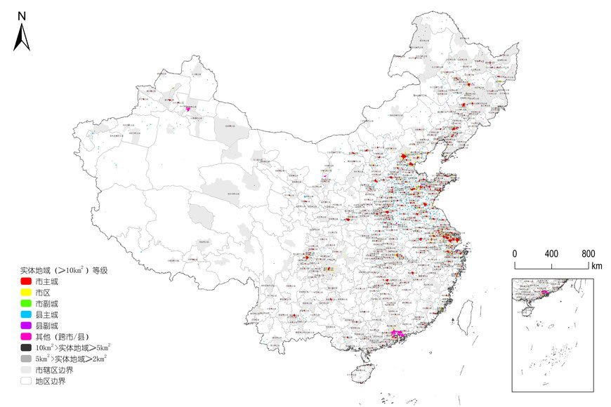
Each record represents a redefined spatial city and includes the following fields:
- name: Name of the spatial city
- area Area of the spatial city (in km²)
- kind: Type code indicating the city's functional role or scale:
- 1 = Central area of an administrative city
- 2 = City district
- 3 = Sub-central area of an administrative city
- 4 = Central area of a county
- 5 = Sub-central area of a county
- 6 = Spatial city crossing administrative boundaries
- 7 = Spatial city with 5–10 km² area
- 8 = Spatial city with 2–5 km² area
Citation
Long, Y. (2016). Redefining Chinese city system with emerging new data. Applied Geography, 75, 36–48. https://doi.org/10.1016/j.apgeog.2016.08.002. Ma, S., & Long, Y. (2019). Identifying spatial cities in China at the community scale. Journal of Urban and Regional Planning, 11(1), 37–50.
Downloads / 下载