
DATA 011
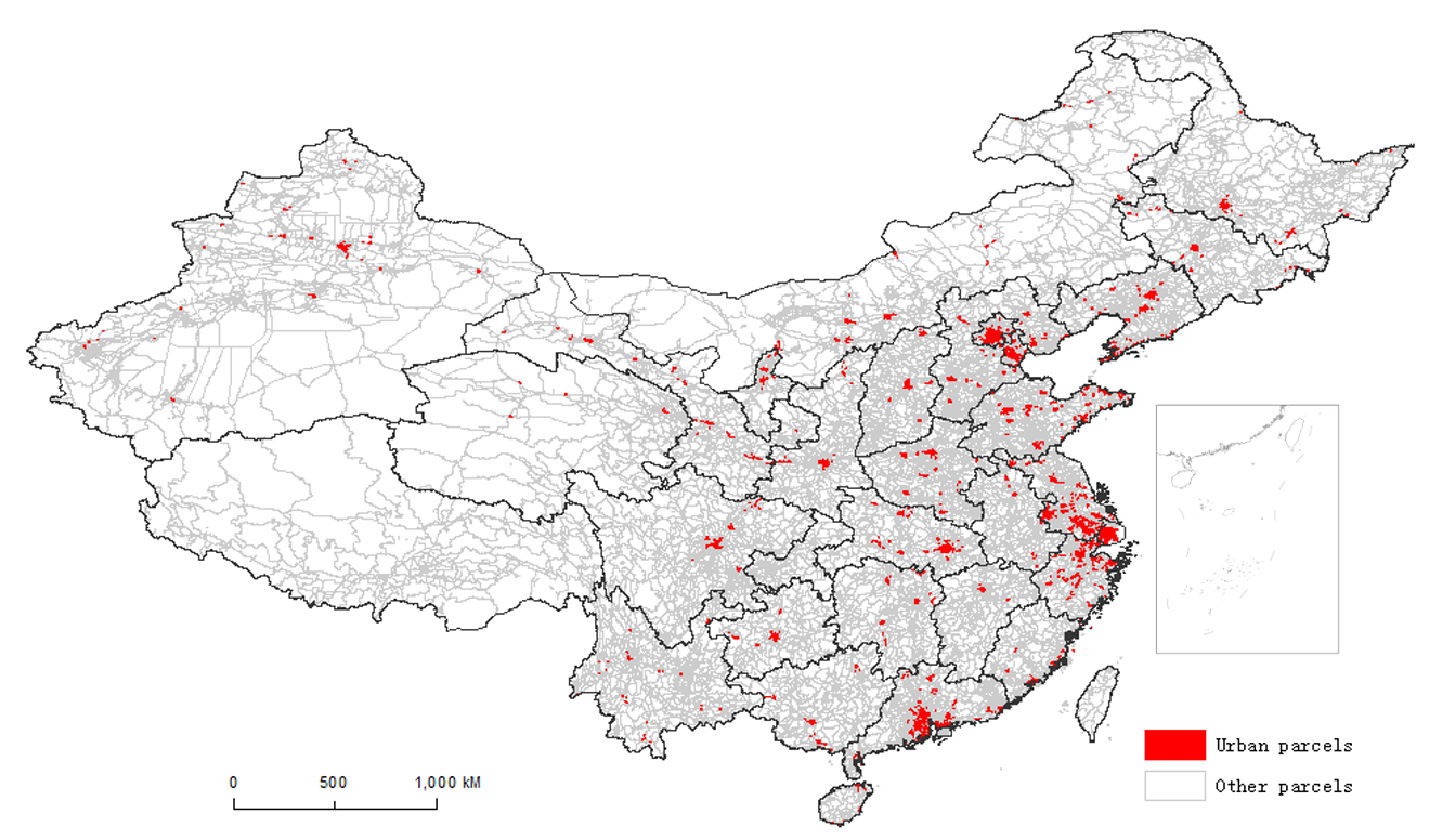
Points of interest of China in 2008
Beijing City Lab Data
Type & Source Over six million POI records scraped in 2008 from an external web directory that remains online. Spatial Coverage Mainland China (nation‑wide). Temporal Coverage Snapshot for the year 2008. Format ArcGIS Personal Geodatabase 10.1. Note: the dataset contains coordinates and place names only; no categorical classification fields are included. Access & Documentation https://doi.org/10.6084/m9.figshare.28667492 Citation Liu, X. J., & Long, Y. (2016). Automated identification and characterization of parcels with OpenStreetMap and points of interest. Environment and Planning B: Planning and Design , 43(2)...
Media / 图片视频
Source Images / 原始图片
Text / 正文
Type & Source
Over six million POI records scraped in 2008 from an external web directory that remains online.
Spatial Coverage
Mainland China (nation‑wide).
Temporal Coverage
Snapshot for the year 2008.
Format
ArcGIS Personal Geodatabase 10.1. Note: the dataset contains coordinates and place names only; no categorical classification fields are included.
Access & Documentation
https://doi.org/10.6084/m9.figshare.28667492
Citation
Liu, X. J., & Long, Y. (2016). Automated identification and characterization of parcels with OpenStreetMap and points of interest. Environment and Planning B: Planning and Design, 43(2), 341–360. https://doi.org/10.1177/0265813515604767. Earlier dataset record: Long, Y., & Liu, X. J. (2013), arXiv:1311.6165.
Downloads / 下载
Files / 附件下载
File
No downloadable file listed / 暂无可下载附件