
DATA 024
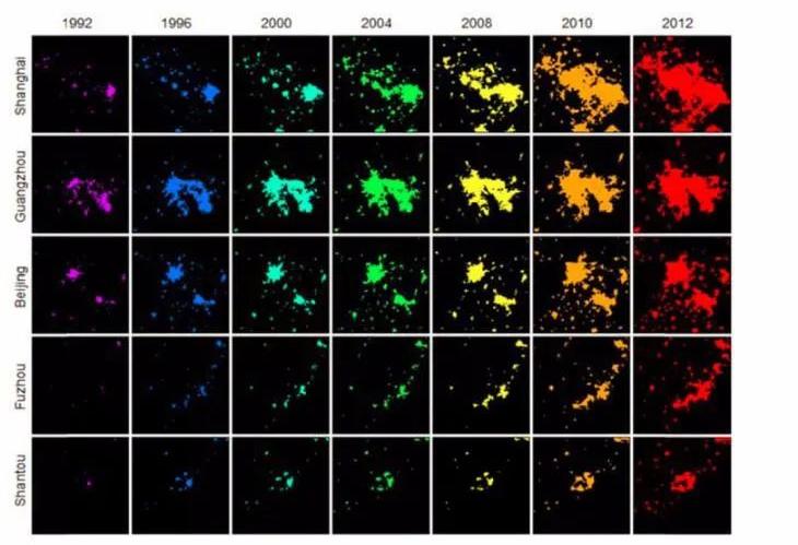
Natural Cities of China 1992‑2012
Beijing City Lab Data
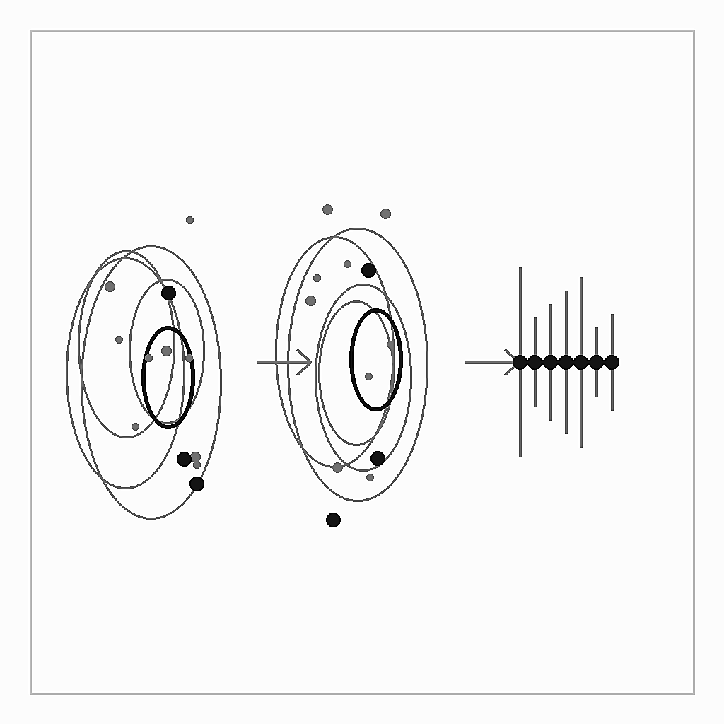
Type & Source Annual vector layers of “natural cities” computed by Prof Bin Jiang using his head/tail breaks methodology ( https://www.hig.se/engelska/university-of-gavle/research/researchers/atm/bin-jiang ). For an overview of the concept, see Prof Jiang’s arXiv collection: https://arxiv.org/a/jiang_b_1.html . Temporal Coverage One snapshot per year from 1992 through 2012. Format ESRI Shapefile. Citation Jiang, B. (2015). Head/tail breaks for visualization of city structure and dynamics. Cities , 43, 69–77. https://doi.org/10.1016/j.cities.2014.11.013 .
Media / 图片视频
Source Images / 原始图片
Text / 正文
Type & Source
Annual vector layers of “natural cities” computed by Prof Bin Jiang using his head/tail breaks methodology (https://www.hig.se/engelska/university-of-gavle/research/researchers/atm/bin-jiang). For an overview of the concept, see Prof Jiang’s arXiv collection: https://arxiv.org/a/jiang_b_1.html.
Temporal Coverage
One snapshot per year from 1992 through 2012.
Format
ESRI Shapefile.
Citation
Jiang, B. (2015). Head/tail breaks for visualization of city structure and dynamics. Cities, 43, 69–77. https://doi.org/10.1016/j.cities.2014.11.013.
Downloads / 下载