
DATA 016
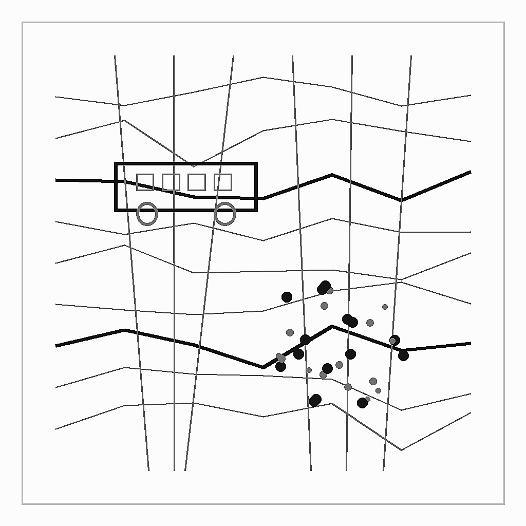
Bus Routes and Stops of Beijing
Beijing City Lab Data
Type & Source A network dataset containing 1 543 bus routes and 42 161 stops, crawled in 2013 by BCL research fellow Dr Jianghao Wang. Format ESRI Shapefile package with two layers (routes and stops). Set the coordinate system to GCS WGS 1984 after loading. Citation Long, Y., & Thill, J.-C. (2015). Combining smart card data and household travel survey to analyze jobs–housing relationships in Beijing. Computers, Environment and Urban Systems , 53, 19–35. https://doi.org/10.1016/j.compenvurbsys.2015.02.005 .
Media / 图片视频
Source Images / 原始图片
Text / 正文
Type & Source
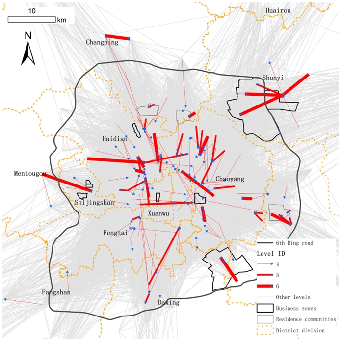
A network dataset containing 1 543 bus routes and 42 161 stops, crawled in 2013 by BCL research fellow Dr Jianghao Wang.
Format
ESRI Shapefile package with two layers (routes and stops). Set the coordinate system to GCS WGS 1984 after loading.
Citation
Long, Y., & Thill, J.-C. (2015). Combining smart card data and household travel survey to analyze jobs–housing relationships in Beijing. Computers, Environment and Urban Systems, 53, 19–35. https://doi.org/10.1016/j.compenvurbsys.2015.02.005.
Downloads / 下载